
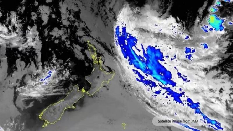
Credit: MetService/ Japan Meteorological Agency
Cyclone Cody will likely track east of East Cape on Monday reducing the impact of wind and rain, however, marine conditions are likely to be dangerous, MetService said in an update early Saturday afternoon.
"MetService meteorologists have high confidence that the centre of Cyclone Cody will track east of East Cape on Monday. This reduces the widespread impacts from wind and rain, but dangerous marine conditions are still likely along eastern coasts of the North Island from today (Saturday) into Tuesday."
MetService meteorologist Lewis Ferris, who says wind and rain are still likely to turn up around eastern parts of the North Island on Monday, says they are forecasting large waves.
"Waves of around 7 metres have been observed near the Bay of Islands this morning and we’re forecasting large waves to turn up along the coast down to the Wairarapa in the next few days.”
On Twitter, MetService said "These waves are likely to be significant with potentially hazardous surf and swell conditions for coastal residents and recreational activities This includes the possibility of:
- hazardous rip currents
- significant sea surges
- coastal inundation."
It urged people to "Keep an eye on your local marine forecast at metservice.com/marine."
MetService says people along the eastern coasts of the North Island should be especially alert for these large waves.
"Coastal communities and people on holiday along the eastern coasts of the North Island should be on alert for high waves over the coming days.
"The largest risk for Northland to Bay of Plenty is from today to Monday, while the greatest risk of unusually large waves from Gisborne down to Wairarapa is from Sunday until Tuesday.
"Waves of this size and direction mean that they will be seen in places that rarely see large waves and are usually considered safe for swimming," the MetService update said.
MetService says heavy rain and strong wind watches remain in force for areas around East Cape on Monday.
"Impacts from Cyclone Cody are minimal away from the eastern coastline and areas under Severe Weather Watches so many other parts of the country will have fine weather. This may come as a relief to some, but it will do very little to alleviate the dry soil conditions affecting much of the country."
From late Monday, MetService says Cyclone Cody does look to approach Chatham Islands with wind, rain and swell passing over the region.