
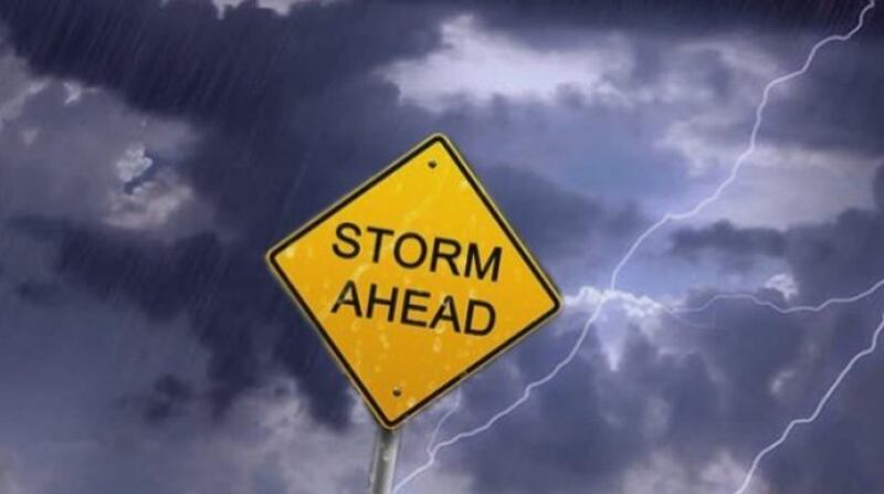
Waikato residents are being urged to prepare for possible flooding and damaging high winds with the expected arrival of complex weather systems over the next few days.
The MetService has issued severe weather warnings for heavy rain from midday tomorrow on the Coromandel Peninsula and in Taupō and Rotorua. Heavy rain is also possible for the Waikato and Waitomo districts. Ex-Tropical Cyclone Cook is predicted to affect the region later in the week.
Waikato Regional Council’s hazards team leader Rick Liefting said it was important residents, landowners and holidaymakers be prepared for possible flooding, slips and power outages.
He says, “Our catchments are saturated and vulnerable to the impacts of the severe weather that’s forecast to affect us.
Riverside areas may flood again, so farmers should take precautions around where they put their stock.”
Liefting said Taupō lake levels and the Waikato River system are being closely monitored by the regional hazards team and Mercury.
“We’re also working closely with the MetService to ensure we have the best and most up-to-date predictions for the low pressure system and impacts of Ex-Tropical Cyclone Cook.
The route and timing of Ex-Tropical Cyclone Cook is very difficult to predict at this stage, but the current track looks like it will pass between Bay of Plenty and Hawke’s Bay on Thursday night.
This will bring heavy rain and severe gales to a large section of the North Island and it could potentially include the Waikato – either due to being on the outer margins of the cyclone or if the path alters slightly.”
People can keep up to date with the latest weather information at metservice.com.